Drone Survey – 3D Model
As part of the Society’s new project to investigate the archaeology of Mynydd Twmbarlwm we commissioned a special Drone Survey by Mark Walters of Sky West Surveys. Click on the arrow on the image below to explore the photo-realistic 3D image within this window or click on the title below to see it larger on the Sketchfab website.
Note: The original above image on the Sketchfab website is quite large and can take a while to download and render on some computers and tablets.
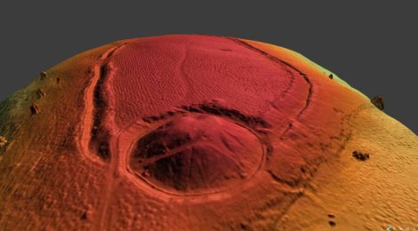
| As well as the photo-realistic rendition of the 3D model above – there is also a digital surface model (CLICK HERE). It has been optimised to accentuate the earthworks more than can be seen on the photo-realistic model. It makes the detail in the ramparts like the gaps, quarry hollows etc. pop out a bit more and is good for general viewing, discussion and interpretation. It is not annotated so that people can look around it and form their own opinion about the sequence of earthworks visible. |
The research project will eventually involve Geo-phys surveys, Lidar and expert analysis of the results – we hope to hold talks and field walks to inform everyone of our progress.
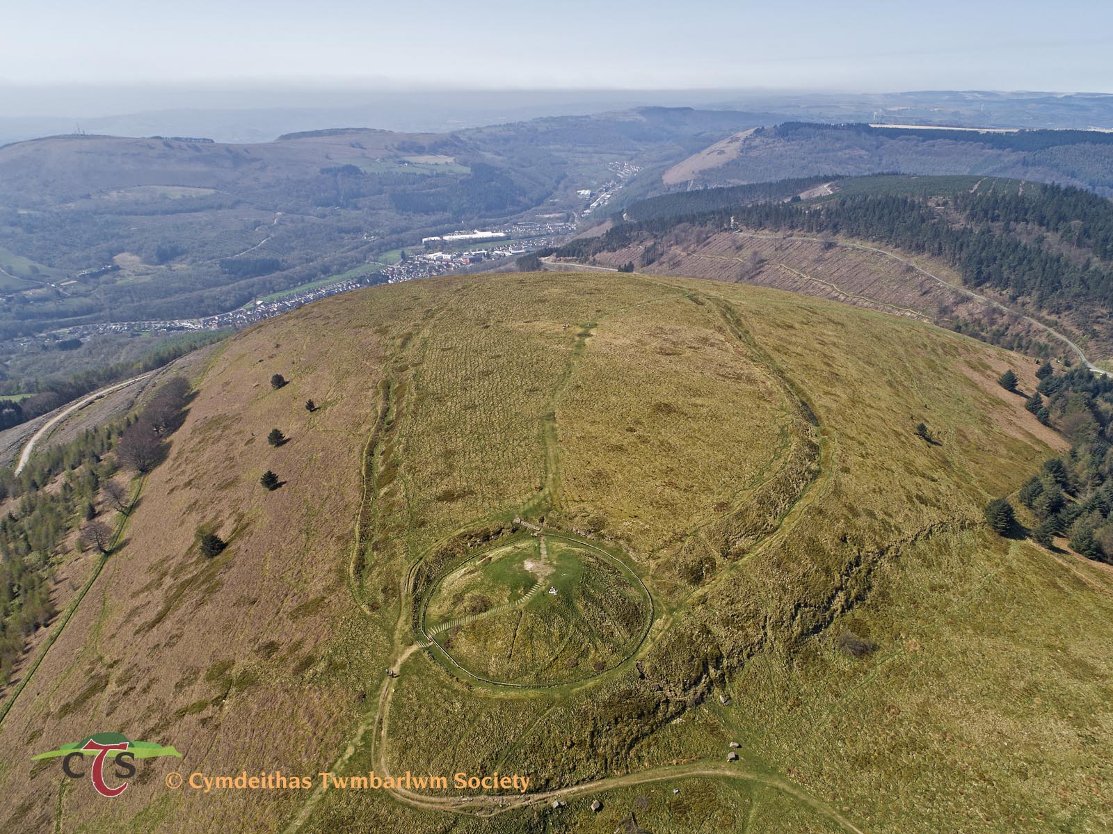 We will publish the results of the research in due course and we have already put up a gallery of aerial photos during the survey – CLICK HERE.
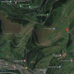
The survey took place on Friday 20th April 2018 – it was a beautiful sunny day with very little wind. There were clear views to the north looking towards Brecon – but looking to the south was a bank of hazy mist all along the Bristol Channel that we were above, even Newport, Cwmbran and Cardiff, just a couple of miles below, were invisible. This didn’t affect the quality of the images we were able to capture of the mountain top.
The 3D model above was created from over 300 hi-resolution individual images.
We also did a flight over the Bronze Age mound that is located a half mile south east of the summit (it’s shown on OS maps of the area) and a few photos of that can be seen at the end of the gallery mentioned above. This may become the subject of further research sometime in the future.
Note: If you have any interest in this project (and indeed any expert knowledge) and would like to get involved please get in touch.